Digital Orienteering Map Archive for Less Áron
|
Log in
All users
|
Language:
English
Česky
Dansk
Deutsch
Eesti
English
Espa?ol
Français
Italiano
Magyar
Norsk
Polski
Portugu?s
???????
Svenska
Türkçe
???????????
|
DOMA 3.0.6
Show overview map
Hide overview map
|
KML
|
Back
<< Szlovák VB 3. (08/07/2017)
Szlovák VB 4. (09/07/2017)
Category:
Verseny
Map/area:
Prybilina
Organiser:
Tatry Orienteering
Country:
Szlovákia
Discipline:
middle
Results
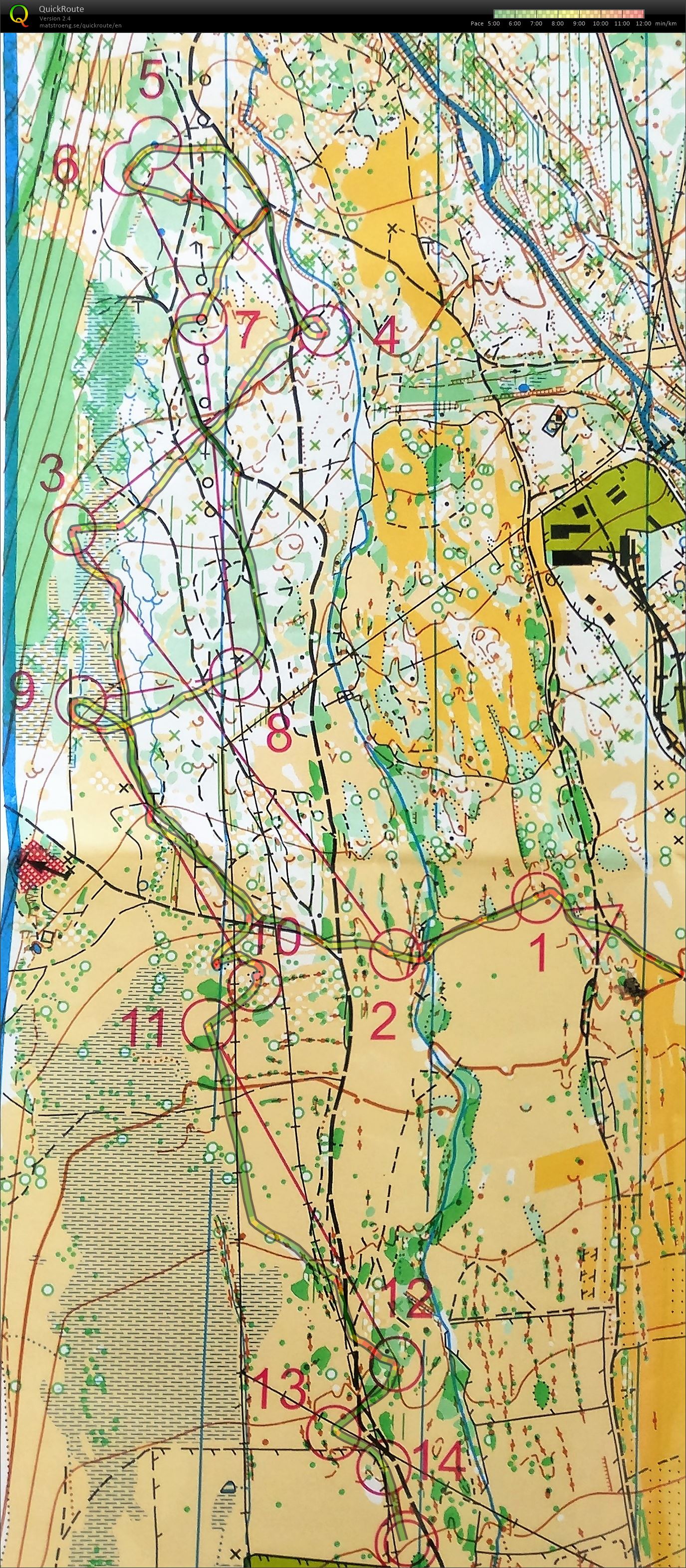
Distance:
4.18 km
Time:
33:39
Average HR:
152
Maximum HR:
176
Bad day in the office. Runnable course at last, but amde silly mistakes to 7 & 10. Lucky to secure the overall though.
Show comments
Hide comments
(
0
)
Post new comment
Name:
Email:
Save
 English
 Česky
Česky Dansk
Dansk Deutsch
 Eesti
Eesti Espa?ol
 Français
 Italiano
 Magyar
 Norsk
Norsk Polski
 Portugu?s
 ???????
 Svenska
 Türkçe
 ???????????